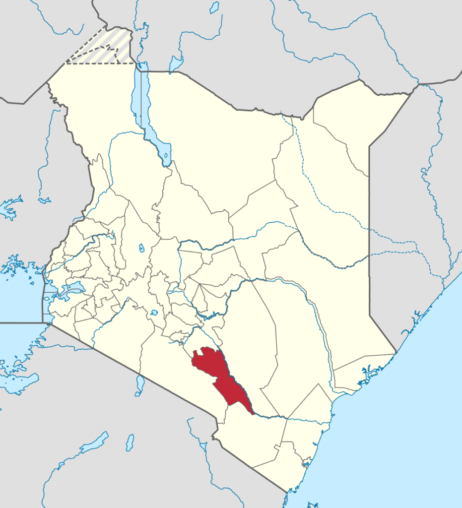
Makueni County is a county in the former Eastern Province of Kenya. Its capital town is Wote. It is the largest town in the county. Emali town which is an important market and stop over for the Standard Gauge Railway (SGR), is another major town in the county. It is multicultural and adds diversity to Makueni County. The county had a population of 987,653 in the 2019 census. The county lies between Latitude 1° 35′ and 2° 59′ South and Longitude 37° 10′ and 38° 30′ East. It borders Machakos County to the North, Kitui County to the East, Taita Taveta County to the South and Kajiado County to the West and covers an area of 8,008.9 km2.
The area primarily consists of the Kamba or Akamba (sometimes called Wakamba) people. They are a Bantu ethnic group who predominantly live in Kenya stretching from Nairobi to Tsavo and northwards to Embu, in the southern part of the former Eastern Province. This land is called Ukambani and constitutes Makueni County, Kitui County and Machakos County.
The county has a number of prominent features in including volcanic Chyullu hills which lie along the South West border of the county Mbooni hills in Mbooni sub county and Kilungu and Iuani hills in Kaiti sub county, Makongo forest and scenic view, Makuli forest and Nzaui hill.
- Population: In 2019, the population of Makueni County was 987,653, with 497,942 females and 489,691 males. The median age was 20 years.
- Population density: The population density was 121 people per square kilometer.
- Household size: The average household size was 5.8 people.
- Child population: 44% of the population is made up of children aged 0–14.
- Fertility rates: The total fertility rate is 3.3 children per woman.
- Teenage pregnancy: 15% of women aged 15–19 have ever been pregnant.
- Access to basic services: 46% of households have access to basic drinking water, and 46% have access to basic sanitation.
- Cooking fuel: 7% of households rely on clean fuels and technologies for cooking, space heating, and lighting.


